Photogrammetry & UAV Mapping :-
We partner with some of the well know Engineering, Construction, Urban Development, Mining and land surveying companies to provide our photogrammetric and UVA mapping services.
Biz-Web Technologies has the equipment and software necessary to offer a wide variety of photogrammetric services and to complete your project. Using our extensive experience, we maintain careful control over the processes, assure product accuracy, and keep costs down.
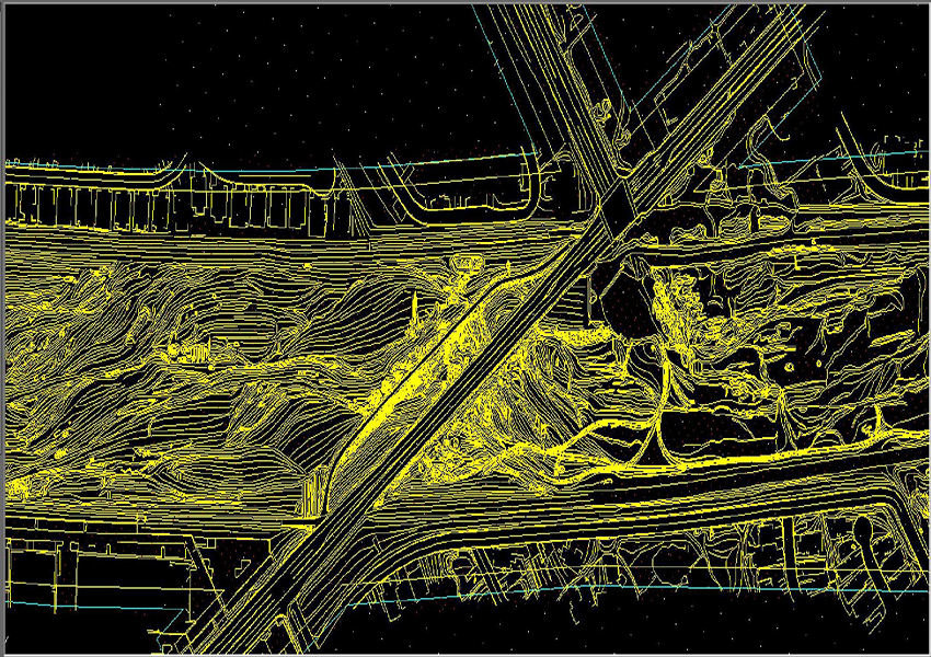
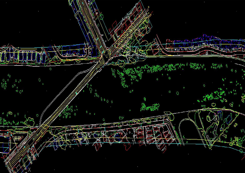
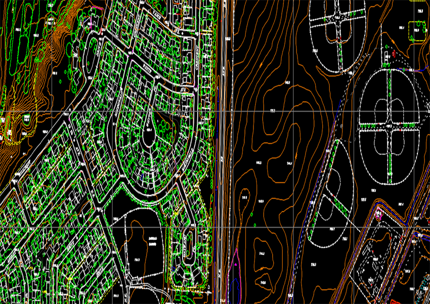
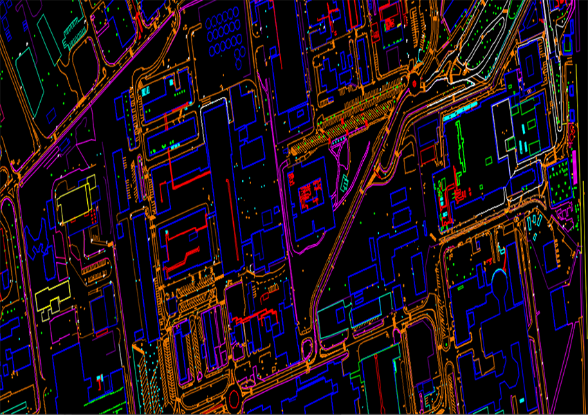
Biz-Web’s staff of experienced technicians have the industry expertise necessary to deliver superior products and services to your organization that are completed on time and under budget. Our project expertise ranges from creating basic planimetric features to complex 3D city models.
Biz-Web Technologies sticks to the high quality deliverables to reach the customer satisfaction level in all aspects by adopting stringent procedures under the surveillance of expert’s team. The data processes under various levels of quality systems such as online quality checks (at production stage), exclusive quality checks (after production), and pre-delivery check.